





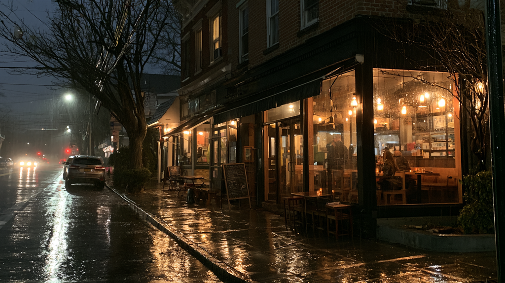
ROCKLAND COUNTY, NY — Rockland County residents should prepare for a wet and windy weekend as an early-season nor’easter moves into the New York metropolitan region, bringing several days of rain, strong winds and cooler temperatures.
For William Bird, organizer of the Nyack Neighborhood Music and Arts Festival – it became the prudent and cautious decision to move the event to next Saturday, October 3rd. “Safety first.” He said in one of his many social media posts.
The event is just one of several that have been forced to make the same decision, given the current forecast. As of Friday 2 pm, the local tri-state area was already in a wind advisory – and was not expected to be lifted until Sunday.
The National Weather Service has placed Rockland County under a Wind Advisory from 2 p.m. Friday, September 25, through 6 a.m. Sunday. The advisory calls for north winds of 20 to 25 mph, with gusts potentially reaching 55 mph in parts of the advisory area. The Weather Service cautioned that winds could knock down tree limbs, move unsecured outdoor objects and cause scattered power outages.
Rockland-specific forecasts currently indicate somewhat lower gusts in many locations. The National Weather Service forecast for the Monsey area calls for gusts approaching 40 mph at times during the weekend, along with periods of rain Saturday, Saturday night and Sunday.
The storm is part of a larger coastal system affecting much of the East Coast from the Mid-Atlantic through New England. Weather.com reported Friday that the strengthening nor’easter will produce strong winds, heavy rain and coastal flooding through the weekend, with New York City and Boston among the areas expected to experience significant effects.
Some with indoor events remain undeterred – unless conditions get worse. For instance, Kobe Sushi in New City New York is hosting their 13th anniversary party at the restaurant in New City New York.
(Editor’s note: Information on that sponsored event is located at the bottom of this article)
Rain and Wind All Weekend
For Rockland County, rain rather than coastal flooding will be the primary concern.
Saturday is expected to be considerably cooler than recent days, with temperatures generally reaching only the low 60s. Periods of rain are expected throughout the day, accompanied by strong northerly winds.
Rain is expected to continue Saturday night and through much of Sunday. The National Weather Service currently forecasts an 80 percent chance of rain Saturday night and a 90 percent chance Sunday in portions of Rockland County. Forecast rainfall amounts include approximately one-half to three-quarters of an inch Saturday night, with another one-half to three-quarters of an inch possible Sunday. Additional rainfall is possible before the system finally begins moving away.
The federal Weather Prediction Center said the nor’easter is expected to approach and then stall east of New Jersey and south of Long Island. Current forecast guidance shows a substantial supply of Atlantic moisture being drawn into southern New England, southern New York and New Jersey.
The center said there is general agreement among weather models for widespread rainfall totals of one to three inches across portions of the affected region, although individual totals will depend on the storm’s eventual position and the location of heavier rain bands.
The storm’s coastal effects will be more pronounced east and south of Rockland. Coastal Flood Warnings have been issued for portions of the New York metropolitan coastline, and ocean waters are under Storm Warnings. The National Weather Service said the greatest coastal flooding impacts are expected Saturday and Sunday.
Rockland County does not face the same Atlantic coastal flooding threat, but prolonged rainfall could still create ponding on roads and poor drainage conditions. Strong winds combined with saturated ground could also increase the possibility of downed branches or isolated tree damage.
Conditions are expected to improve gradually rather than immediately after the weekend. Rain remains possible Monday, with temperatures remaining in the lower to middle 60s. Drier and warmer weather is currently forecast to return Tuesday, with temperatures near 70 degrees, followed by generally pleasant conditions Wednesday and Thursday.
Because the nor’easter is expected to move slowly, relatively small changes in its position could affect rainfall and wind totals across the Hudson Valley. Residents should continue monitoring updated forecasts through the weekend, particularly if traveling or attending outdoor events.
Sources: National Weather Service, NOAA Weather Prediction Center and Weather.com.
Advertisements